|
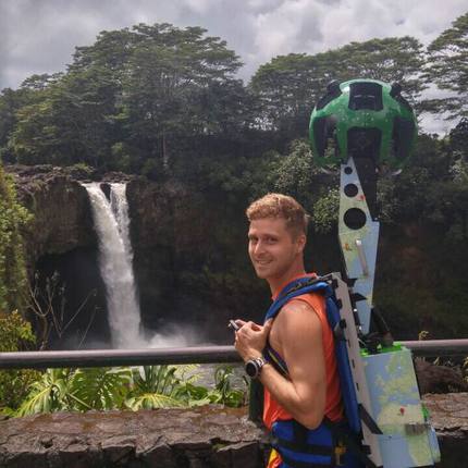
This past year saw the completion of TOC’s partnership with Google’s Trekker program which highlighted various environmental, cultural and historical locations from around the state and saw them uploaded to Google Maps/Earth. All imagery from Kauai, Maui, Oahu and Hawai‘i Island can now be accessed through Google Maps/Earth and direct links to each location can be found on the TOC website (http://www.outdoorcircle.org/google-trekker.html). Please note that for all locations featured, permission was granted by the respective property owner or government agency and no secret locations were a part of the program. The imagery has received praise for the numerous benefits that it can provide including the ability to use it for research purposes such as monitoring changes in invasive species composition over time, and allowing those who may not be physically or financially capable of visiting these wonderful locations, the ability to do so virtually. Comments are closed.
|
Welina!The Greenleaf is the online newsletter and blog of The Outdoor Circle. Here you will find updates on the projects and accomplishments of our many branches throughout the state, as well as programs with statewide impact. Archives
September 2023
Categories
All
|


 RSS Feed