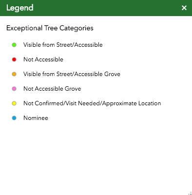
The Outdoor Circle's Exceptional Tree Map
|
For the past two years, The Outdoor Circle has traveled across the State collecting information about the Exceptional Trees of Hawai‘i. By obtaining a tree's: GPS coordinates, diameter, height, condition and photo, we have been able to compile an extensive database for these important specimens. In using this data, we have been able to generate the estimated environmental and economic benefits of these trees, in the hopes of educating the public of the immense benefits that all trees have not only on the environment, but also our daily lives.
As of now, phase one of the mapping of Oahu is complete and all of the neighboring Hawaiian Islands have been visited. A second more extensive visit to each will take place in the near future in order to obtain as much data from these Exceptional Trees as possible. Future Updates: 1) Crown Spread 2) Live Crown Ratio 3) Electrical Savings (kWh) 4) Historical Information/Age of Each Tree 5) Revisit each tree to determine updated growth and condition. The map is constantly evolving as new information is gathered, so please check back frequently! |
|
A Special Mahalo to all Who have Contributed to the Exceptional Tree Map!
|
Original Creators
Spencer Mawhar Nate Ortiz Austin Stankus |
Ground Truthing/Data Collection Director
Myles Ritchie |
Ground Truthing/Data Collection Interns
Ben Ritchie Blaze Smith Lindsey Howard Gloria Taaffe George Tambakis Ireland Derby Julia Page |

