|
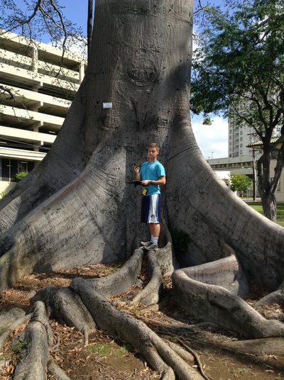
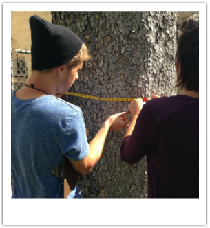
The Exceptional Mapping Tree Initiative is in the early stages of creating the first-ever consolidated database of all Exceptional Trees in Hawai‘i. The Outdoor Circle's map will document currently protected trees, trees nominated for protection, and trees that are candidates for protection. In a user-friendly, open-source format, our map will include the following information about each tree: the GPS location, height, circumference, and a picture of the species. With this information, we will be able to document the great things these majestic trees do for our environment, like reducing temperatures through shade and preventing run-off from erosion. To be successful, this map needs the support of volunteers all across the Hawaiian Islands.
Scroll down for ways YOU can help to further protect the amazing trees of Hawai‘i? |
|
Q: Do I need special knowledge to collect data?
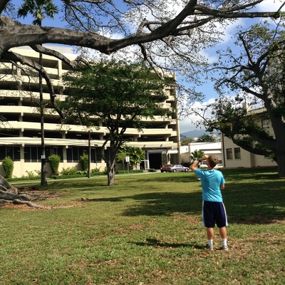
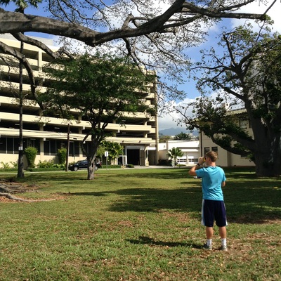
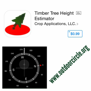
A: No. Collecting tree data is easy and fun. All you need to know is outlined in these instructions. Click here to download detailed tree mapping directions and how to's. |
|
|
Q: How do I get more involved in this tree map?
A: Sign-up via the form below and we'll send you updates on tree mapping training courses, when tree mappers are planning to be in your area, and relevant information about Hawai‘i's Exceptional Trees.
A: Sign-up via the form below and we'll send you updates on tree mapping training courses, when tree mappers are planning to be in your area, and relevant information about Hawai‘i's Exceptional Trees.

